Tuesday, September 27, 2011

An Autumn Day at Isabelle Lake

When I was at Isabelle Lake (Indian Peaks Wilderness at Brainard Lake entrance) in mid-July, it was a bit grueling navigating the snow fields and muddy/watery trails to get there.   This was on a perfect autumn day, September 18.  The aspen on the Peak to Peak highway were mostly golden, reflecting the high altitude sunlight beautifully.  The road into Brainard Lake was especially outstanding.  It was early rising to get there by 8 am when a parking place at the trail head to Long Lake was still available.  This time I hiked along the south shore of Long Lake until the trail passes the lake and turns in to go around the other shore.  After crossing the bridge where Long Lake flows into a creek, the meadows fronting the jagged peaks were in sunny splendor.  The trail rises from the lake through a deep woods before turning across a bridge crossing a creek at the other end of the lake.


The trail up to Isabelle Lake appears shortly and climbs through forest and meadows.


Approaching the lake, which is close to timber line, I was surprised to see wildflowers (mostly bluebells) surrounding the head of a waterfall.  This waterfall was absolutely raging in July.  The area must get protected as temperatures at night are surely below freezing by now.


The bent trees testify to the severity of wind up here, but this day was mostly calm.
 A snack overlooking the lake on rock with a small patch of red leaves was the perfect place. 


Picture taking was exchanged right after a rock hopping crossing.  Driving out, I was surprised to see every possible parking place around Brainard Lake taken.   A drive down the canyon below Ward was another gorgeous experience before fighting the traffic back home through Boulder.

Saturday, September 24, 2011

Biking & hiking around Dillon Reservoir

After postponing the two day excursion a week to Sept 20 due to such not nice looking weather, it turned out that Tuesday was about the same as that but Wednesday was perfect.  Also the fall color was bound to be a little further along.  Since I wanted to bike as much as possible along the lake, warmer weather was more of a consideration than the peak of the leaves.  This year it looks like a week later will be the so-called peak, when all the aspen are golden.  Actually I like the leaves better when not all of them are turned, although along I-70 golden show up so much more strikingly in the pine covered hills.  Evidently the soil in the Dillon area contributes to more red color than usual, so there was lots of contrast.  Most aspen were still green, some just turned and a few with red hues.

Instead of staying on I-70 through the tunnel, I took US 6 over Loveland Pass.  It must have been in the mid-60s that I was first and last (?) until now on that road with my former roommate at U of IL, Phyllis Mikita.  She was on her way to Aspen, where our mutual friend John Schmidt had a second home.  Phyllis stopped in Nauvoo that summer to ask me to help her drive out there.  As I recall, I ended up doing almost all the driving that night through a long detour in Iowa on little two-lane roads and later in Nebraska.  I-70 through Colorado was not much more than plan then.  I stopped at the top of the pass and hiked a trail to a higher point across the road.


After arriving in Dillon, I parked above a marina and took off on a bike path on the south end of the lake.  It was a bit blustery, so after arriving where the path would go on to Keystone turned back to explore other parts of the area.  It looked like it could rain any time, so I drove a new road, Swan Mountain Drive.  This road connects the south edge of Dillon with CO 9 south of Frisco.  It seems that this road also serves as the bike route along that side of the lake.  I couldn't find any other way, as a one-lane road to a nature center on the shore of the lake prohibited bikes.  Also there was a sign along the highway warning that bikes had the right of way to the entire road.  Since it was still threatening rain, I decided to drive on up to Breckenridge and through there to view aspen up on Hoosier Pass.  A picture of Mt. Quandry, which Andrea and I summited in 2001, follows.  This is not really a climb but a really steep and rocky trail.  All the same, it was my first and last 14er.


I biked around Breckenridge for awhile but decided the touristy, mountain town thing was not for me.  At Frisco I found the most promising bike path along the lake and over the dam on the road between Frisco and Dillon and decided to do that Wednesday.  The bike path along the Frisco end of the lake which I had found before was the last ride of the day.  It never did rain.


One convenience about being in a motel is having a safe place for the bike while hiking.  So by 8 am I was on the Buffalo Mountain trail above Dillon.  The first part is a mild climb with several mostly level areas.  About 1/3 of the way, a wilderness sign appears, and the climb is  a little steeper from there along an old rocky road to the remains of a cabin.  After the trail is much steeper and narrower.  Once I was high on the mountain with a great view of the lake and towns on either end, it was time to head back before check out time.


Retrieved the bike and headed for a parking area just past the dam for the best bike ride.  The day was perfect, and as time went on more and more bikers appeared. This is definitely worth many repeat rides.


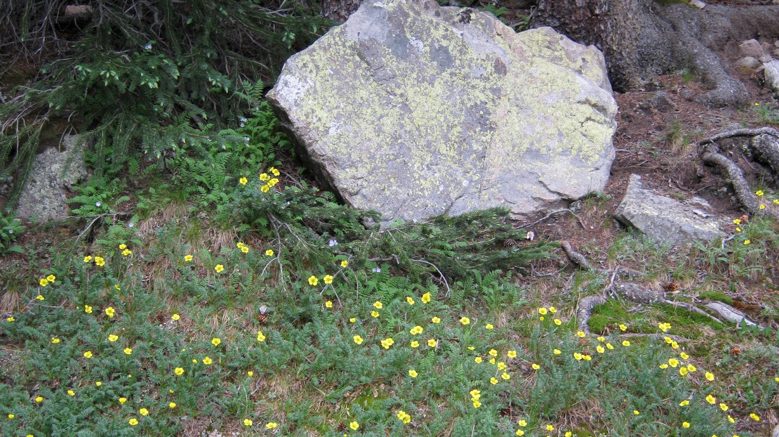
Just a few summer flowers are hanging on, as temperatures in this area are in the 30s at night now.  On the way back, a stop in Silver Plume for a scone and tea at a run down 1900's building in an almost deserted old mining town was a great final treat.

Sunday, September 18, 2011

Hike to Silver Dollar Lakes

Finally the road above Georgetown to Guanella Pass is open for enough hours to get to this trailhead.  For over two years road improvements have prevented most traffic.  Interestingly, many locals fought the improving of the road due to concerns that sight seeing traffic would explode.  Much of the road was either unpaved or badly broken pavement.  The work still has a long way to go, but at least a lead car was available before 9am and after 1pm for a couple hours each day.  At this point the work has widened the road and  removed old pavement but is now completely unpaved.  I went up in July for this hike and plan to drive to the top this week (Sept 20).  This area has some of the best fall aspen viewing close to Denver, hence its popularity.

Without  4-wheel drive, one must park and walk up a steep road for about 1/2 mile to reach the actual trail
head.  This is no problem going, but coming back I always wish I could have parked in the upper area.  After a short, mild climb through woods, openings to higher vistas begin to appear.


A wide assortment of wild flowers appears for the rest of the trail.


A lake below, with some kind of camp, is visible from  much of this hike.


The first snow field to hike over appears with the long view for the rest of the trail.


Lots more wildflowers once the trail is above timber line.


This part of the hike is mostly flat with plenty of wet areas and another large snow field.  I could see two paths previous hikers had taken and chose the lower one going and the upper on the way back.  The lower had a bit of a steep place to get back on the trail.  After doing the upper, which was exceedingly steep and slippery, I now know that a little steep is a lot better than the whole thing being steep.  The hillside one would slide down after a loss of footing goes all the way to that lake below.


The day was cloudy with a slight bit of rain from time to time, and until I was on my way back not another person was up here.  Being above timber line when wild flowers are on, is one of my favorite types of hikes.   The end of this part of the hike is at one of the Silver Dollar Lakes, and the perfect place for a snack before going back.


More wildflowers and vistas to snap on the way back.


I'm looking forward to taking Emory and Lily on this hike in a few years.  Once the initial road walk and trail climb is done, the rest is easy and quite appropriate for kids.